Tonga Advances Climate Resilience with Comprehensive National LiDAR Mapping
The Pacific Island nation is set to become one of the first in the region to achieve full LiDAR coverage to improve disaster planning and environmental management.
PENN Explainer
Hear this story explained in 90 seconds.
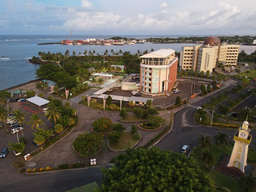
The Kingdom of Tonga is moving forward with a major initiative to map its entire territory using Light Detection and Ranging, or LiDAR, technology. This project aims to provide high-resolution data for all low-lying islands across the nation. By capturing precise topographical information, the government intends to strengthen its national planning and climate resilience strategies. The effort represents a significant step toward evidence-based decision-making in the face of rising environmental risks.
Officials expect the data to play a critical role in protecting both coastal and marine ecosystems. This mapping will help the country better understand its vulnerability to natural hazards and sea-level rise. The project is being supported by the United Nations Development Programme as part of a broader effort to integrate biodiversity safeguards into national development. By creating detailed digital models of the landscape, Tonga can more effectively manage its land use and infrastructure.
This technical advancement is designed to account for the specific climate change adaptation needs of the island nation. The initiative also emphasizes the importance of inclusive and equitable social and economic development for all citizens. Experts note that such tools are essential for small island states that face disproportionate impacts from global climate shifts. The project will provide a foundation for future disaster response and long-term environmental protection efforts.
As the work progresses, the government plans to use the findings to guide sustainable development policies across its islands. This commitment to high-quality data collection highlights a growing trend among Pacific nations to prioritize scientific research in their governance. The successful implementation of this LiDAR coverage will likely serve as a model for other countries in the region. Future phases of the project will focus on applying these insights to improve community safety and ecosystem health.
You've reached your free article limit
You've read 10 of 10 free articles this month. Subscribe to Planet Earth News Network for unlimited access to neutral, global journalism — plus puzzles, podcasts, and the weekly newsletter.
Already a subscriber? Sign in.
Ask the Author
Subscribers can ask the journalist a question about this story. Subscribe to ask.
Nota di neutralità
Auto-harvested from global news wires and presented neutrally by PENN.
to vote
Comments
No comments yet — be the first to share your thoughts.