
Hurricane Nolo Brings Heavy Rain and Flooding Threats to Hawaii
Powerful storm skirts the Big Island as residents brace for significant rainfall and high winds
PENN Explainer
Hear this story explained in 90 seconds.
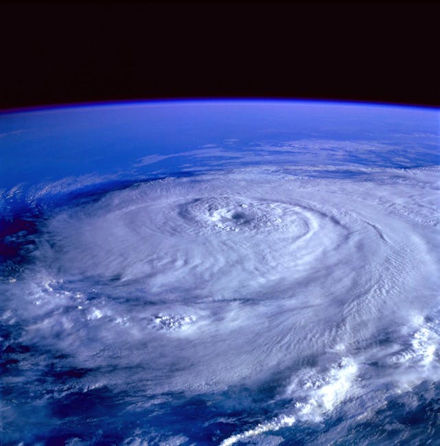
Hurricane Nolo is currently moving through the remote Pacific Ocean, bringing significant weather threats to Hawaii. The storm recently reached Category 2 status with maximum sustained winds of 100 mph, according to the National Hurricane Center. Outer rainbands from the system have begun to impact the Big Island, raising concerns about potential damage. Residents are preparing for the storm while still recovering from the effects of a previous hurricane that hit the region earlier this season.
Officials are closely monitoring the path of the hurricane as it skirts the island chain. Parts of the Big Island could receive up to 20 inches of rain as the storm passes. This heavy precipitation poses a serious risk of flash flooding and landslides in vulnerable areas. Local authorities have urged residents to remain vigilant and follow all safety instructions provided by emergency management teams.
The combination of high winds and saturated ground creates a dangerous environment for those living in low-lying regions. The National Hurricane Center continues to provide updates as the storm progresses through the Pacific. Meteorologists are tracking the intensity of the hurricane to determine if it will strengthen further or begin to weaken. The current trajectory suggests that the storm will remain a significant threat to the islands for the next several days.
Emergency response teams are on standby to assist with any flooding or wind-related incidents that may occur. This event highlights the ongoing challenges faced by island communities during the peak of the hurricane season. The impact of such storms often extends beyond immediate weather damage, affecting local infrastructure and daily life. Continued monitoring and preparation remain essential for the safety of all residents in the path of the storm.
Ask the Author
Subscribers can ask the journalist a question about this story. Subscribe to ask.
Nota neutralitatis
Auto-harvested from global news wires and presented neutrally by PENN.
to vote
Comments
No comments yet — be the first to share your thoughts.
Related stories in Weather & Climate

Storm Henk Causes Widespread Flooding and Travel Disruption Across the United Kingdom
2026-10-04
United Kingdom Grapples with Aftermath of Recent Severe Storm Season
2026-10-04