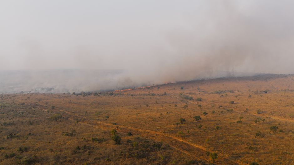
Tropical Storm Nolo Approaches Hawaii as Pacific Cyclone Activity Intensifies
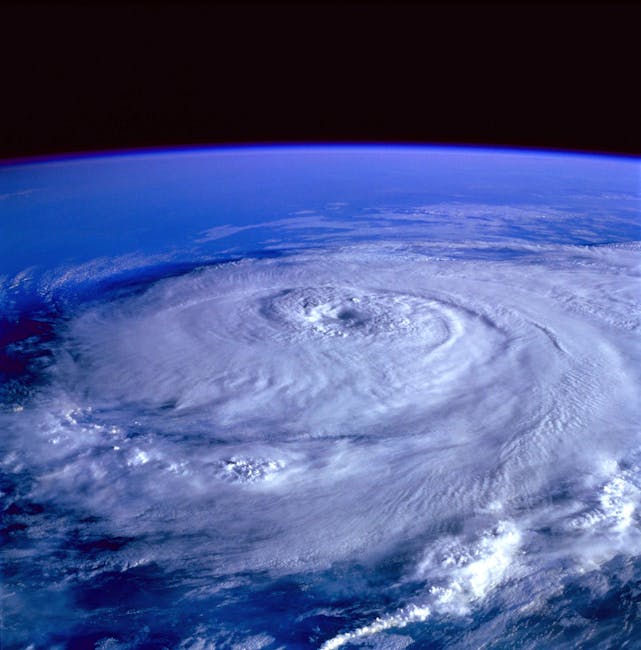
Meteorologists monitor multiple active storm systems across the Pacific basin as Tropical Storm Nolo tracks toward the Hawaiian Islands.
PENN Explainer
Hear this story explained in 90 seconds.
The Pacific Ocean is currently experiencing a period of heightened tropical activity as multiple storm systems develop across the basin. Meteorologists at the National Hurricane Center and other global weather agencies are closely tracking these developments to provide timely updates. Among the most significant systems is Tropical Storm Nolo, which is currently moving toward the Hawaiian Islands. Residents in the region are being advised to monitor local weather reports as the storm approaches. The National Weather Service has highlighted the potential for significant coastal impacts as the system nears the islands. These impacts may include high surf, strong winds, and heavy rainfall in various coastal areas. Emergency management teams are preparing for potential disruptions to daily life and infrastructure. Officials emphasize the importance of staying informed through official channels during this active weather period. Beyond Nolo, the broader Pacific region is seeing a cluster of other tropical cyclones that require ongoing observation. Systems such as Tropical Storm Odalys and Hurricane Polo are also being tracked by the Pacific Disaster Center and other monitoring organizations. The presence of multiple active storms simultaneously is a notable meteorological event for late September 2026. Scientists are analyzing the environmental conditions that have allowed these systems to form and persist across the Pacific. Data from the National Hurricane Center indicates that these storms are being monitored with advanced satellite technology and real-time guidance systems. This allows for more accurate forecasting of storm paths and intensity changes. The global community remains focused on the safety of those in the path of these developing weather systems. Cooperation between international meteorological agencies ensures that data is shared efficiently to protect lives and property. As the season progresses, authorities continue to urge the public to maintain emergency preparedness kits and follow evacuation orders if they are issued. The situation remains fluid, and updates will be provided as new information becomes available from official weather monitoring stations.
Ask the Author
Subscribers can ask the journalist a question about this story. Subscribe to ask.
Заметка о нейтральности
Auto-harvested from global news wires and presented neutrally by PENN.
to vote
Comments
No comments yet — be the first to share your thoughts.
Related stories in Weather & Climate
Japan Prepares for Seasonal Winter Shifts as Meteorological Agencies Monitor Climate Patterns
2026-09-25
South Africa Faces Severe Weather Warnings as Thunderstorms Sweep Across Provinces
2026-09-24